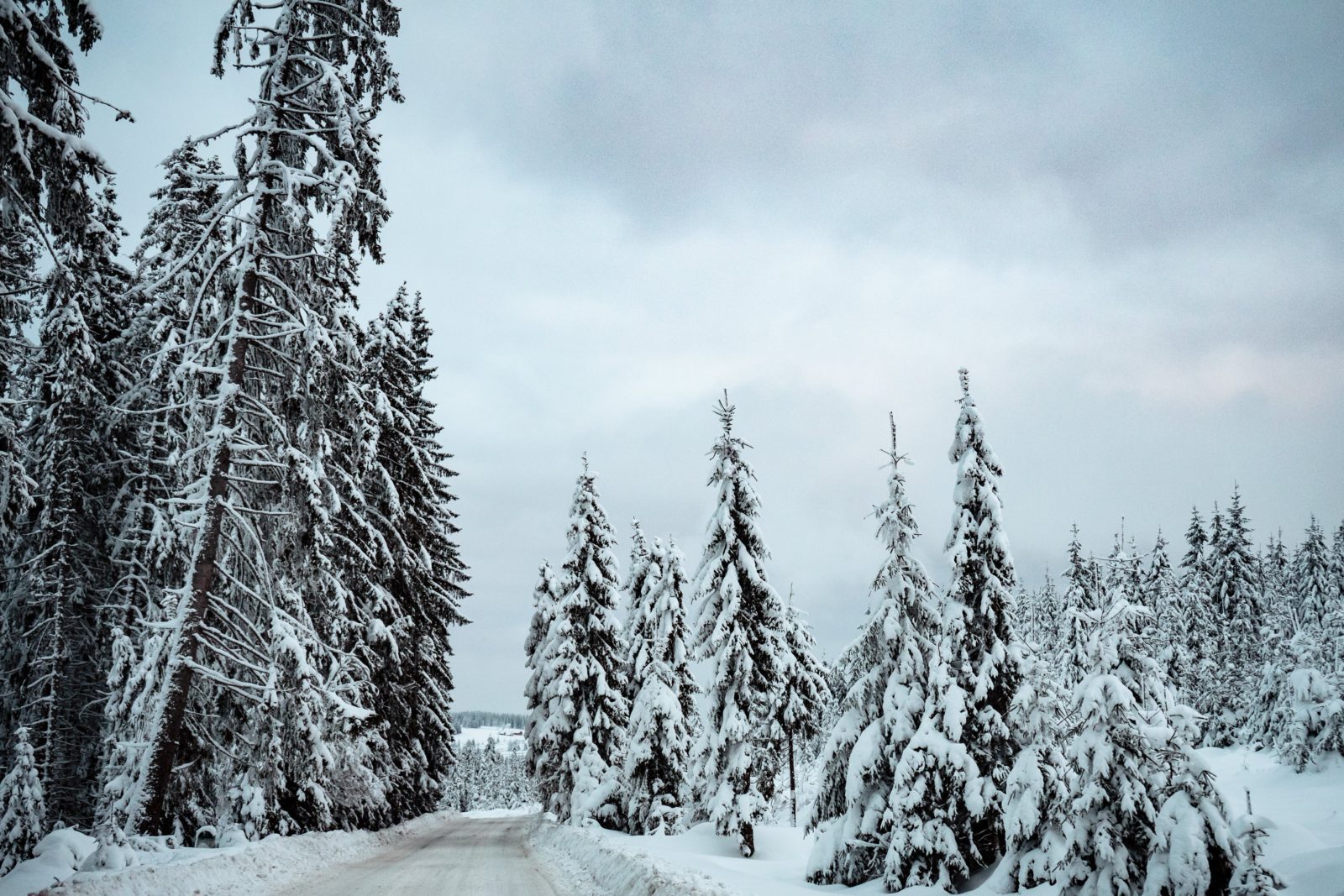
As the cold front moves over the Czech Republic, a considerable drop in temperature and numerous showers, including snowfall in higher altitude areas, are expected at the end of the week. According to meteorologist Dagmar Honsová, the following week should see a brief rise in temperatures due to the westward current, and morning lows will move away from zero degrees.
The cooling, set to last until Monday, is due to the wave-like cold front that will begin to affect our weather from Thursday evening onwards. “Colder and humid air will flow into the Czech Republic from the northwest,” Honsová explained.
On Thursday, the day will start with partly cloudy or almost clear skies in places with fog or low cloudiness. As the day progresses, cloudiness will increase from the west, and local showers will join in. Temperatures will range between 9 and 13 degrees Celsius.
Friday will be mostly cloudy to overcast, again with local rain or showers, which will be snowy at the mountain peaks. The cloudiness will decrease from the west in the afternoon, and temperatures will rise to 7 to 11 degrees Celsius. Morning lows will drop to 5 to 1 degree Celsius.
Saturday will also encounter extensive cloudiness accompanied by local showers or rain. In the mountains, snowfall will again need to be considered. Morning temperatures will drop to 4 to 0 degrees Celsius, while daytime temperatures should reach 5 to 9 degrees Celsius.
Meteorologist Honsová recalled that, in the past 20 years, November 11th, when Saint Martin is supposed to arrive on a white horse according to folklore, brought the most snow in 2007. “Also, in 2004, up to 2 centimeters of snow lay in the peripheral parts of Prague. In 2016, snow showers occurred from 500 meters above sea level, in 2017 from 700 meters, and snowed in the mountains in 2010, 2009, and 2002,” she added.


