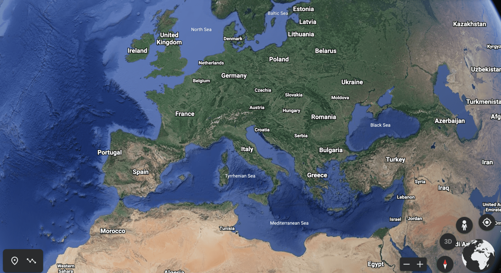
Google has made the largest update to its Google Earth platform since 2017. The company’s specialists have improved the Timelapse service to clearly show how climate change and human activities have affected glaciers, beaches, forests, rivers, cities and other places around the world.
To do this, they combined 24 million satellite images taken from 1984 to 2020. 20 petabytes of information were collected into one “video mosaic” of 4.4 terapixels, which is equivalent to 530 thousand videos in 4K resolution. According to Google, “This is the largest planetary video on the planet.”


